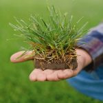
Farmers today face a difficult balance: keeping crops healthy and productive and dealing with adversity, all while still remaining competitive in the market. Knowing when to irrigate, fertilise, spray, harvest or rest is essential for managing optimal yields and to manage resources appropriately.
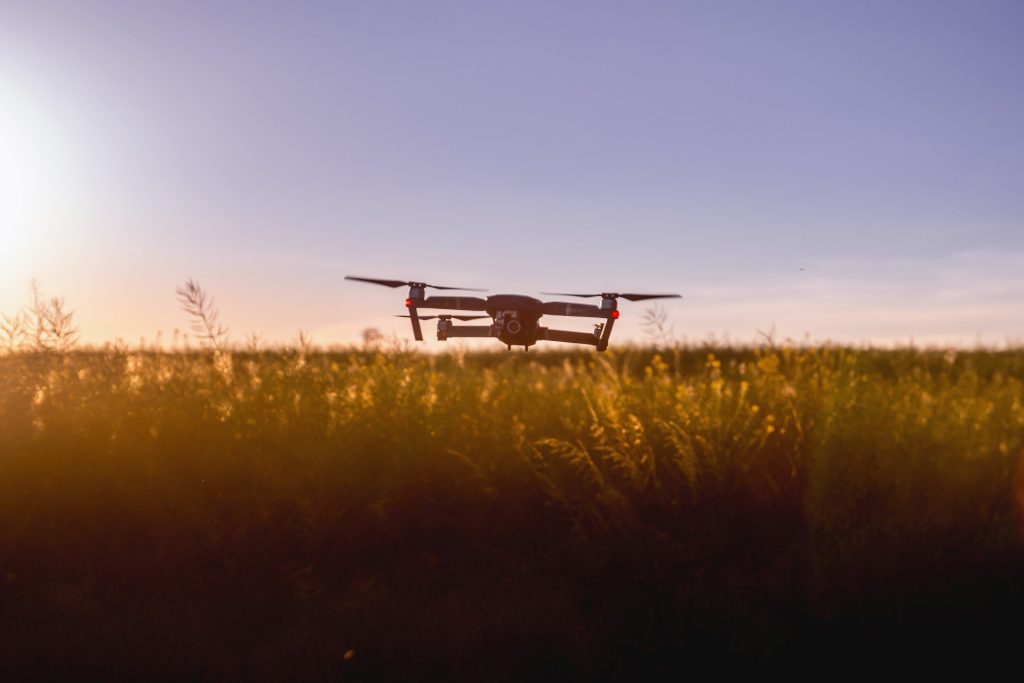
Sometimes having extra help on hand when you need it can make the job easier – that’s where drones are making a massive impact within the agricultural sector. Drones are no longer just for hobbyists or military surveillance – they have become an essential tool for farmers seeking to optimise their farm productivity with a (literal) bird’s-eye view of their farm.
Drones. What is the fuss about?
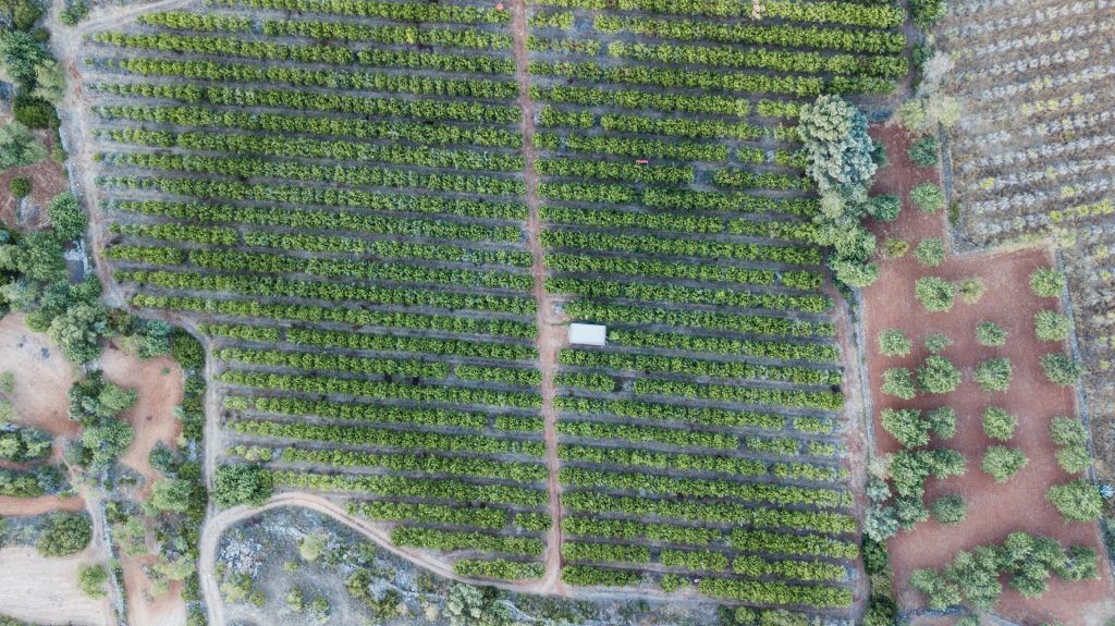
Drone mapping and monitoring fills the void where typical ground-level monitoring is often limited by providing an incomplete picture of the total farm system.
Ground-level monitoring has its limitations:
- Its inherent nature of being labour-intensive
- It necessitates physical presence in the fields, limiting the area that can be covered at a given time.
- observations can be influenced by localised conditions – resulting in reports that may not reflect the overall health or status of a crop field.
These factors make it challenging for farmers to promptly identify and address issues, potentially leading to reduced yield and profitability.
Advantages of using drone imagery on the farm
Save Time and Money
Drone surveillance is revolutionising the way large farming areas are being monitored. Drone surveillance of large farming areas can be done quickly and efficiently, saving significant time and labour compared to traditional ground-level monitoring methods.
Deploying drones for farm monitoring and management will require some initial investment, but the ROI is significant.
This method is:
- cost-effective
- environmentally friendly
- better treatment for your soils without having to drive over them with machinery and compact them as much.
Drones effortlessly cover vast areas in a matter of minutes, providing quick and comprehensive surveillance. Having an aerial perspective allows farmers to monitor their crops, land, equipment, and livestock in a fraction of the time it takes to walk the entire area of the field.
By replacing traditional ground-level monitoring methods, drones swoop through the skies, swiftly capturing valuable data and images. This efficient technology reduces the need to rely on manually, allowing farmers to allocate resources to other crucial tasks.
Whilst it doesn’t replace a standard farm walkabout – and we are not recommending that it should – it does help farmers optimise their productivity while maintaining a thorough understanding of their fields, crops, and livestock.
With drones offering faster, more accurate reporting and diagnosis of crop health issues, they have evolved to become an indispensable part of precision agriculture and are a tool that every farmer should consider integrating into their farm management plan.
Access to Inaccessible Areas
Traditional ground-level monitoring can be hindered by several factors such as rugged terrain, large water bodies, or dense vegetation. Remote areas that are difficult to reach or potentially hazardous could be left unchecked, leading to blind spots in monitoring efforts and creating problems later down the line.
A drone’s aerial viewpoint and manoeuvrability can easily overcome inaccessibility issues and can easily reach areas difficult or unsafe for humans to access. With the ability to fly over tall trees, navigate around steep hills, or hover over water bodies, providing a comprehensive overview of all farming areas, irrespective of their accessibility – this ensures that no area is left unmonitored.
Using drones minimises the risk of injury or harm to farmers and field workers, as they no longer need to venture into hazardous areas physically if they are by themselves. This aspect not only enhances the thoroughness of farm monitoring but also significantly improves the safety standards within the agricultural sector.
Improve Resource Management
Gone are the days of guesses and approximations. Drone mapping gives you an aerial perspective that leaves no corner of your land unexamined. Every pixel tells a story about your farm’s health – its strengths and its vulnerabilities.
From monitoring crop vitality to tracking pasture conditions and livestock activity, precision monitoring is your new best friend. Accurate data can improve the production, performance, and efficiency of your farm.
Drone imagery allows farmers to monitor farm health in real-time, enabling targeted use of water, fertilisers, effluent or pesticides. Having a clear view of resource use and its resulting effects throughout the farm makes it easier to make decisions about resource efficiency and helps to reduce costs.
Early Detection of Issues
Farming depends heavily on timely decision-making. And with drone mapping, you’re not just making decisions; you’re making informed ones. Access to real-time data means you can spot potential problems and apply solutions before they become serious issues. Maximising your resources and minimising risks is a smart and necessary strategy to survive in the agricultural industry.
Issues such as pest infections, nutrient deficiencies, or water stress can be identified early. This enables timely intervention, potentially preventing crop loss and increasing overall yield.
By promptly identifying problems such as pest infections, nutrient deficiencies, or water stress, farmers can take timely action to mitigate the damage and prevent potential losses. Early detection allows for targeted interventions, such as targeted pest control, nutrient supplementation, or efficient irrigation strategies, which can significantly increase overall yield.
Identifying issues at their early stages empowers farmers to implement sustainable and environmentally friendly solutions, reducing the reliance on chemical inputs and minimising potential negative impacts on surrounding ecosystems. Ultimately, the ability to detect and address issues early on plays an essential role in optimising productivity and ensuring a resilient and sustainable agricultural system.
Accurate Data Collection
Providing precise, high-resolution images, drones offer a bird’s-eye view that provides farmers with a more accurate assessment of their crops and leads to better and more informed decision-making.
For tasks with high variability such as irrigation, pest control, and overall crop management, by identifying specific areas that require attention, drones can help optimise resources and reduce waste.
Paired with their ability to navigate challenging terrains and capture detailed images, drones have undoubtedly become an indispensable tool in modern agriculture, enhancing productivity and ensuring more sustainability in farming practices.